

🚁 DJI Mavic 3E Enterprise RTK 📡 D-RTK 2 GNSS Surveying Kit 🔋 5 Batteries + Hard Case
- West Palm Beach, FL 33401 (View Map)
- Posted on: 10/26/26
- 52 Views
-
Flag Ad
$5,995 (USD)
-
 Brand: DJI
-
 Model: Mavic 3 Series
-
 Condition: Used
- Description
- Model Details
**DJI Mavic 3E Enterprise RTK — Complete Professional Surveying & Mapping Package | 5 Batteries | D-RTK 2 GNSS Base Station**
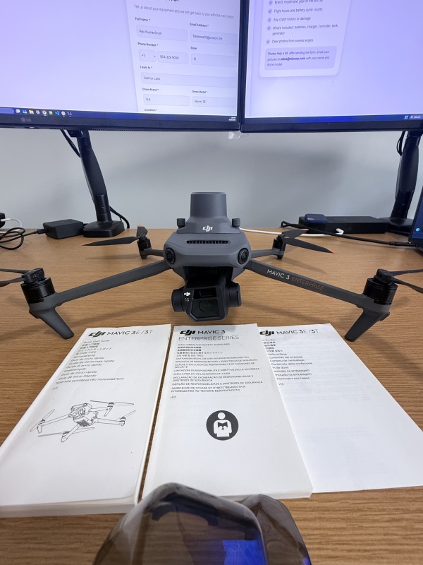
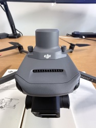
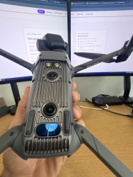
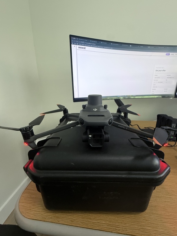
Selling my DJI Mavic 3E Enterprise professional drone system, including the DJI RTK Module, D-RTK 2 High Precision GNSS Mobile Station, tripod, five intelligent flight batteries, controller, charging equipment, and protective hard case.
This is a comprehensive commercial aerial mapping and geospatial data collection package, suitable for professional drone operators, GIS specialists, surveyors, engineering firms, construction companies, and infrastructure inspection teams.
**EQUIPMENT INCLUDED:**
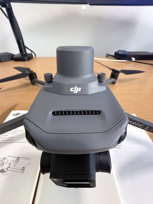
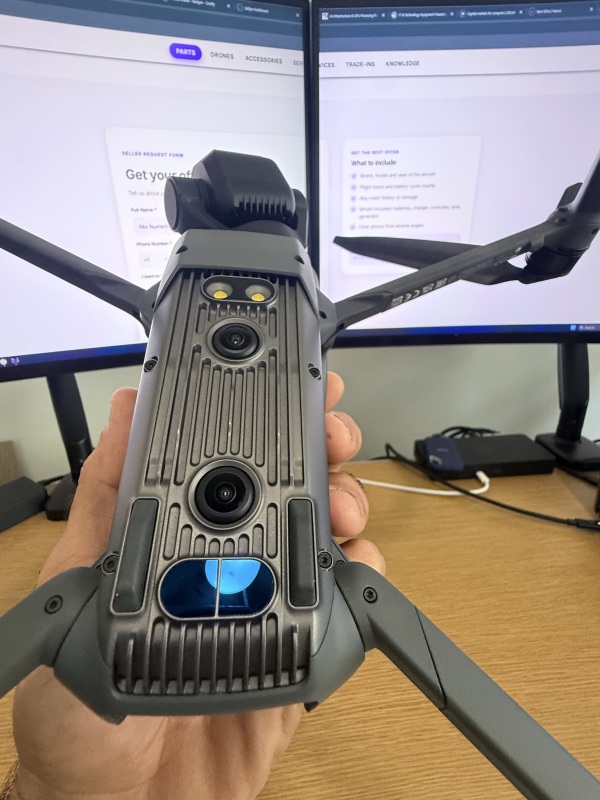
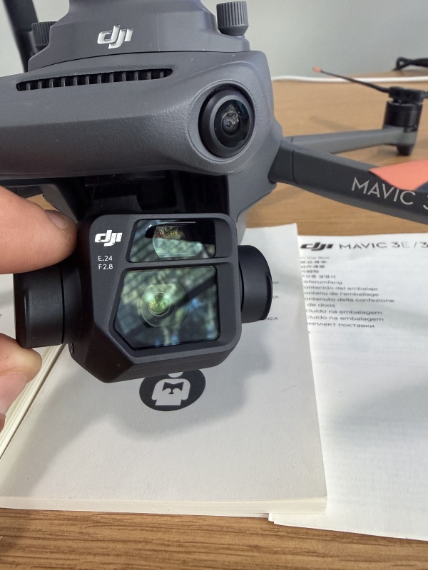
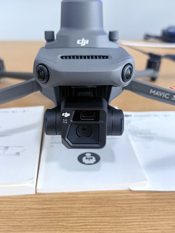
- DJI Mavic 3E Enterprise aircraft with integrated wide-angle mapping camera and telephoto camera
- DJI Mavic 3 Enterprise RTK Module, installed on aircraft
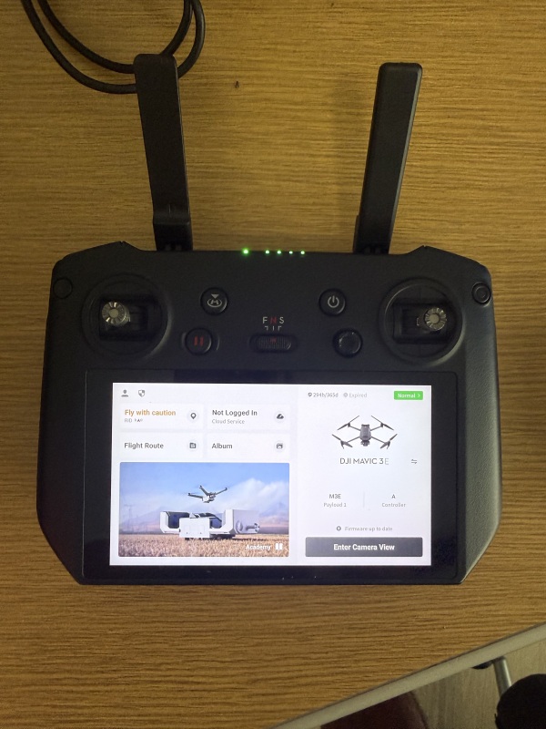
- DJI RC Pro Enterprise remote controller with integrated display
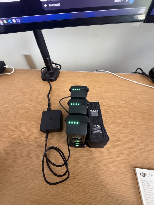
- Five DJI Intelligent Flight Batteries
- DJI multi-battery charging hub and power adapter
- DJI D-RTK 2 High Precision GNSS Mobile Station
- DJI D-RTK 2 base station tripod
- DJI protective hard carrying case
**PROFESSIONAL CAPABILITIES:**
The Mavic 3E features a 4/3 CMOS wide-angle camera with a mechanical shutter, designed for efficient aerial photogrammetry and mapping. The installed DJI RTK Module supports high-precision positioning when used with compatible RTK correction services or base-station equipment.
The included D-RTK 2 GNSS Mobile Station provides an additional precision-positioning solution for supported DJI operations.
Applications include:
- High-resolution aerial photogrammetry and orthomosaic mapping
- GIS and geospatial data acquisition
- Construction site mapping and progress monitoring
- Land development and topographic data collection
- Stockpile volumetric measurements
- Infrastructure and utility corridor inspections
- Environmental monitoring and resource management
- Commercial surveying and engineering workflows
**CONDITION & AVAILABILITY:**
Pre-owned equipment, stored when not in use. Photographs show the aircraft, camera system, controller, battery equipment, GNSS station packaging, and accessories.
Aircraft flight hours, individual battery cycle counts, crash/repair history, and detailed operational condition can be provided following verification.
The D-RTK 2 station and tripod are included in the sale. Buyers are welcome to request additional photographs and equipment details.
**LOCATION:** Stuart, Florida area.
**SALE TERMS:**
Prefer to sell as a complete professional mapping package. Serious offers welcome. Local inspection and pickup can be arranged, with shipping considered subject to agreed payment and shipping arrangements.
This is a private equipment sale, not a trade-in.
Please contact me through DroneTrader for additional information or to discuss purchasing the complete system.
Model details and specifications are coming soon!
Location

Contact Rēx