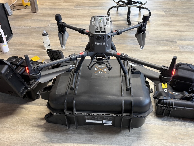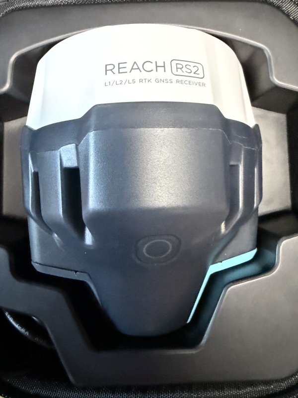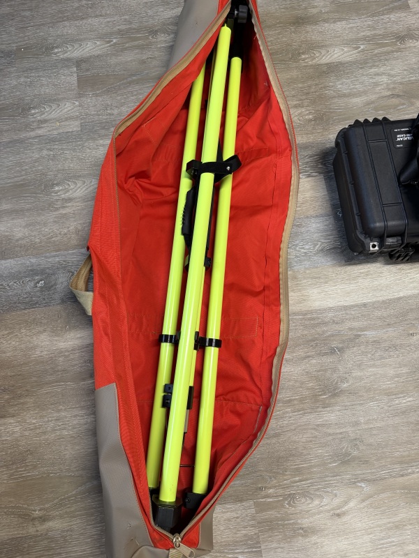


DJI M300 RTK + Rock Robotic LiDAR Mapping System and base station
- Green Bay, WI 54301 (View Map)
- Posted on: 03/26/26
- 1454 Views
-
Flag Ad
$12,000 (USD) Open to offers!
-
 Brand: DJI
-
 Model: Matrice 300
-
 Condition: Used
- Description
- Model Details
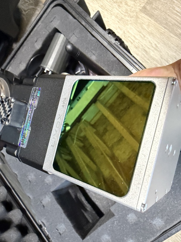
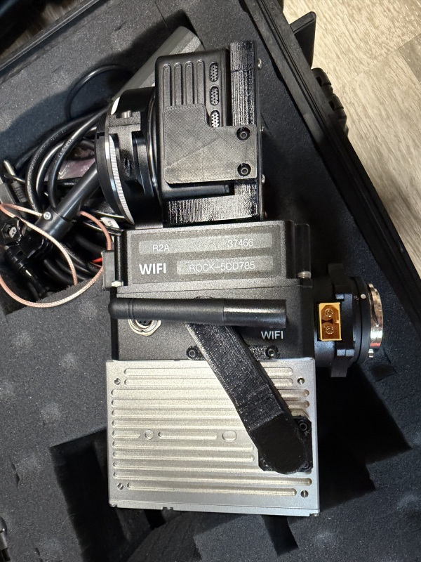
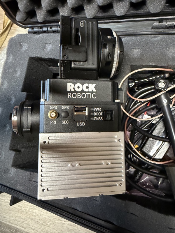
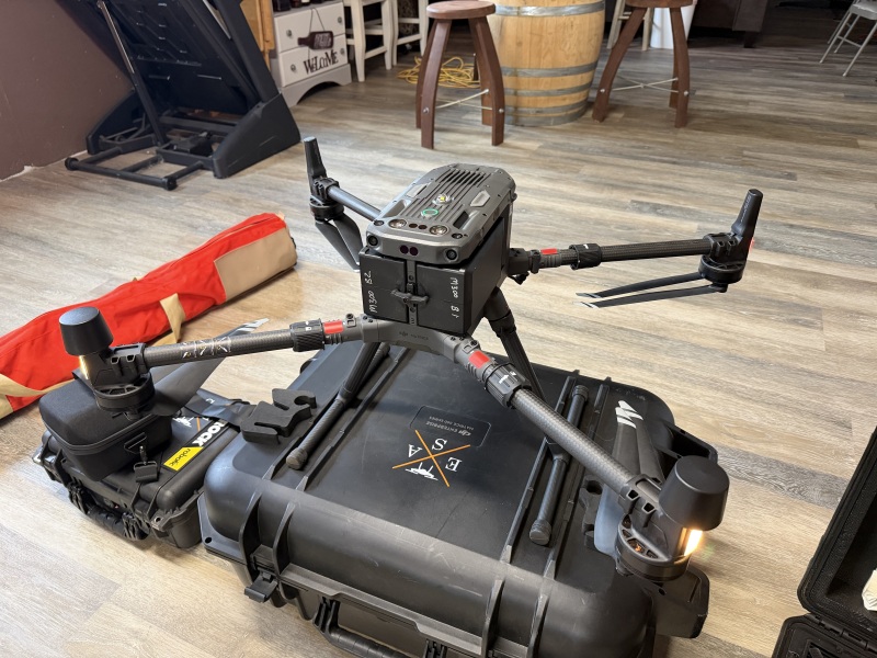
Complete LiDAR mapping system built around a DJI Matrice 300 RTK with Rock Robotic R2A LiDAR using a Livox Avia sensor.
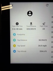
Extremely low hours.
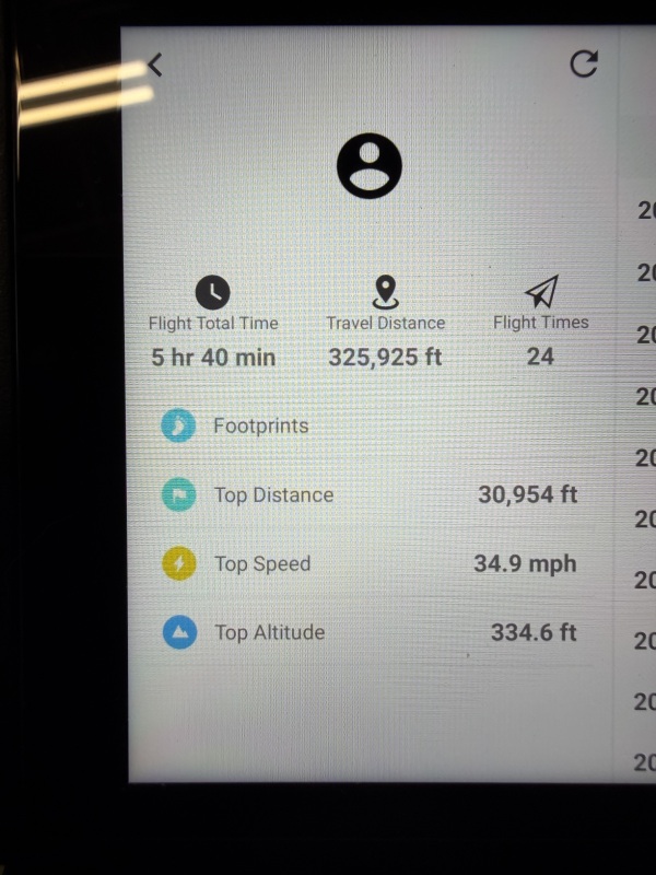
Aircraft stats
• Total flight time: 5 hr 40 min
• Total flights: 24
Batteries
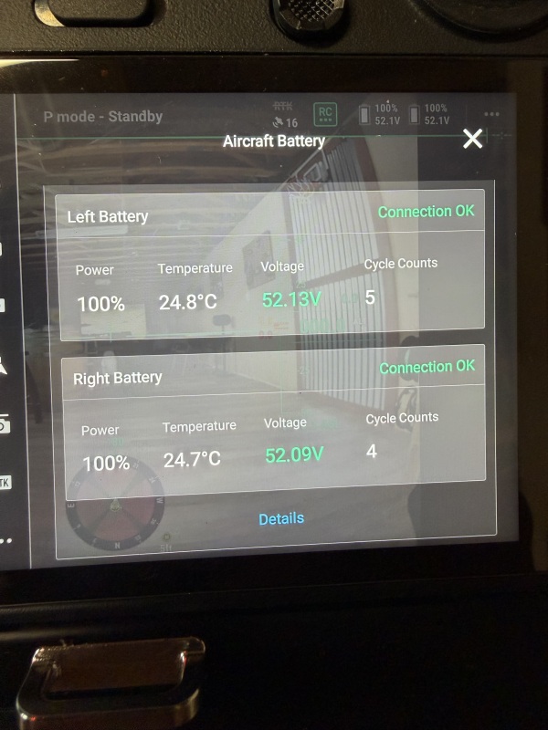
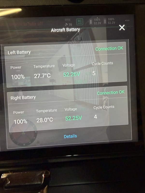
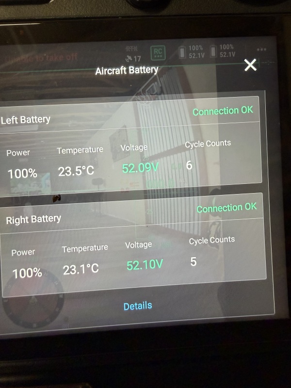
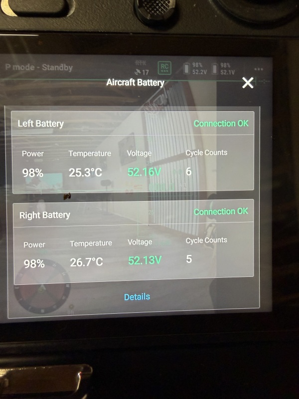
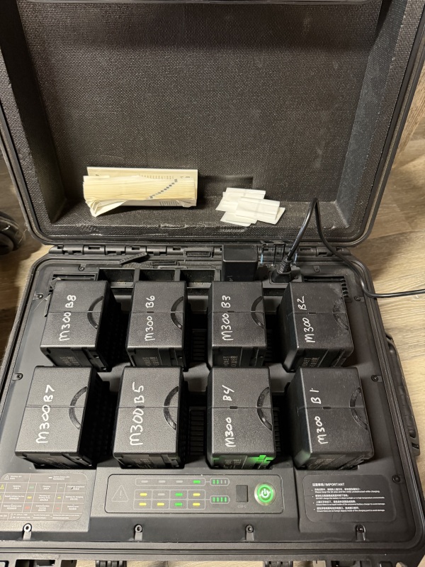
• 8 TB60 batteries
• Only 4–6 cycles each (basically new)
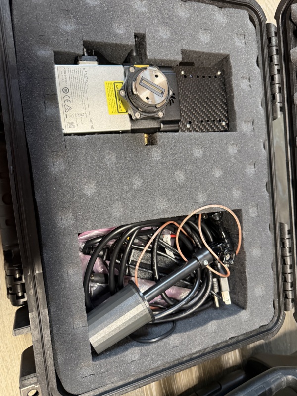
Included
• DJI M300 RTK drone
• Rock Robotic R2A LiDAR payload
• GNSS antenna
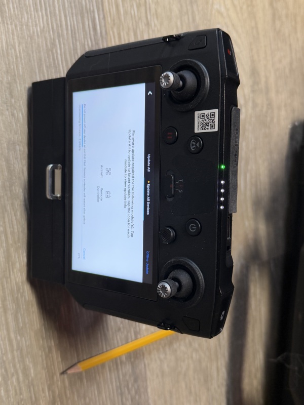
• Smart controller
• hard transport case
Emlid Base station with tripod
Model details and specifications are coming soon!
Location

Contact Tom